Churchill River Maps Updated (PDF)
File information
Title: Printing Map - Churchill River.ozfx3
Author: Dad
This PDF 1.5 document has been generated by PScript5.dll Version 5.2.2 / Acrobat Distiller 9.5.3 (Windows), and has been sent on pdf-archive.com on 05/07/2016 at 03:30, from IP address 142.167.x.x.
The current document download page has been viewed 398 times.
File size: 8.24 MB (8 pages).
Privacy: public file
File preview
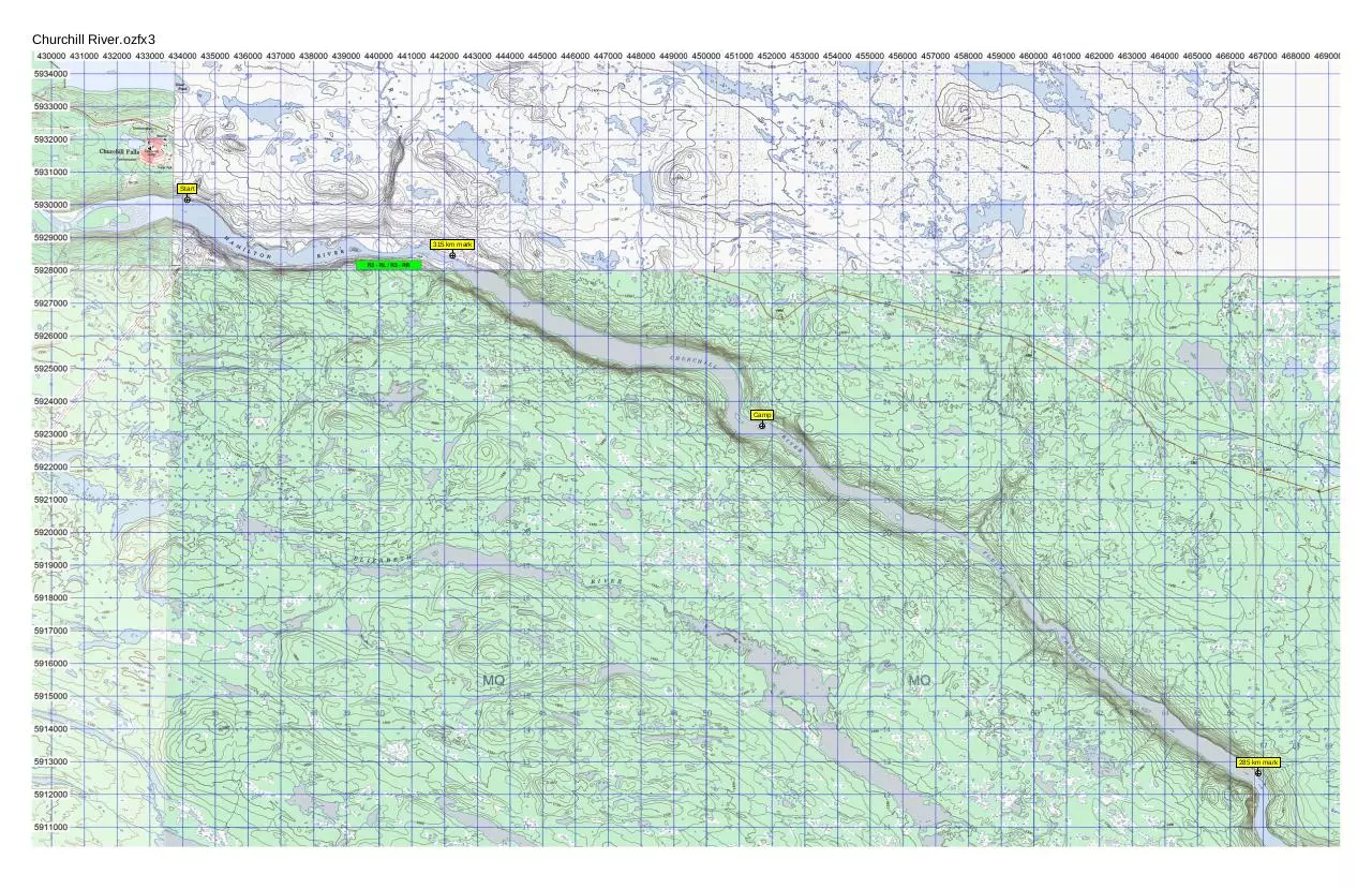
Churchill River.ozfx3
Start
315 km mark
Camp
285 km mark
Churchill River.ozfx3
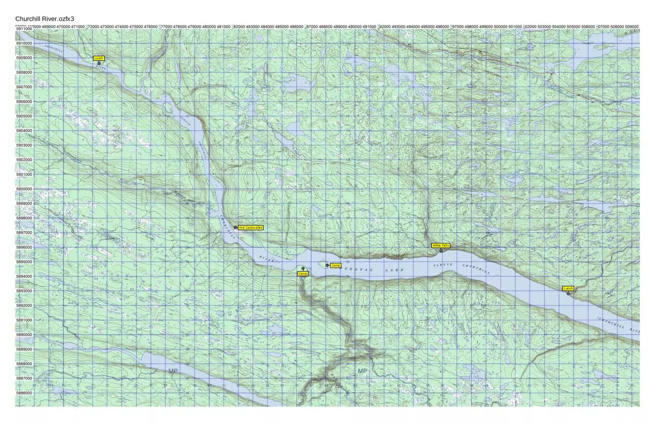
Lunch
Not Canoe-able
White Falls
Camp
Camp
Lunch
Churchill River.ozfx3
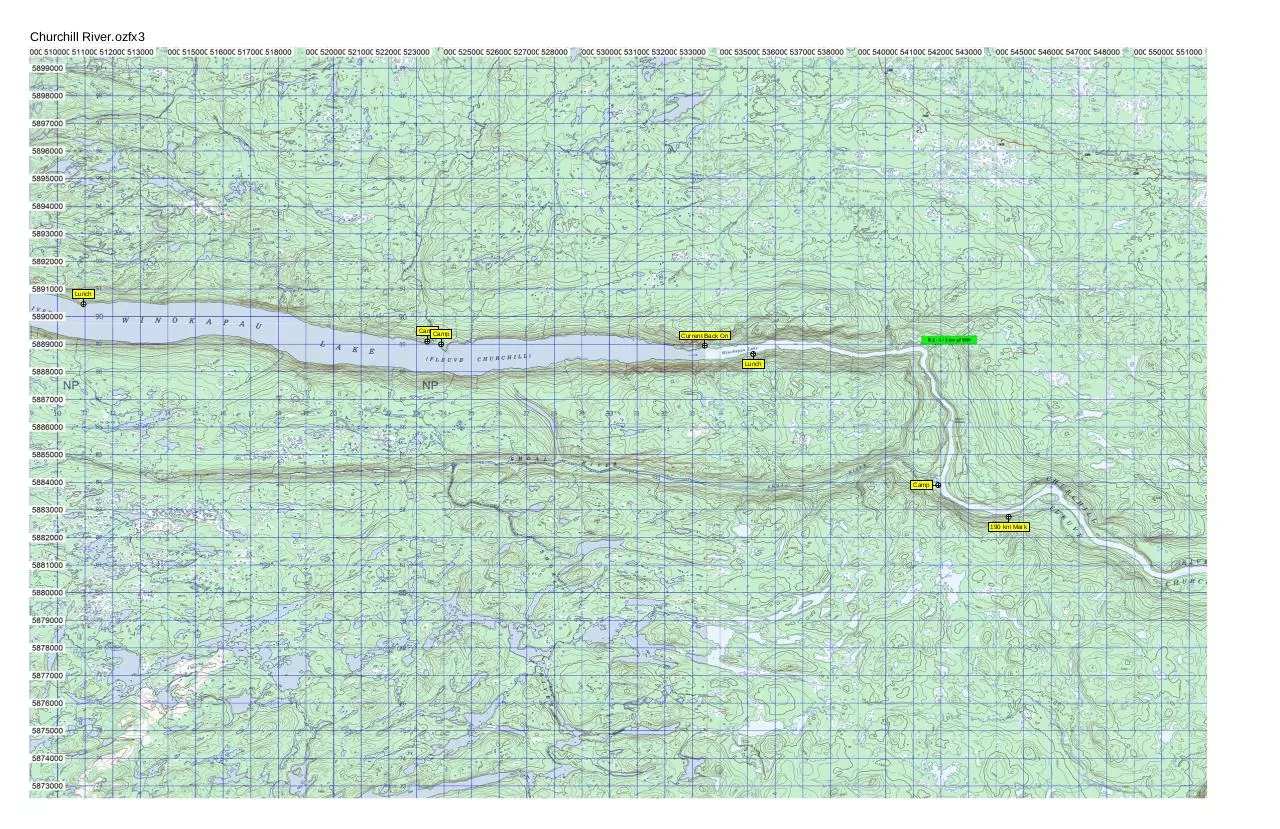
Lunch
CampCamp
Current Back On
Lunch
Camp
190 km Mark
Churchill River.ozfx3
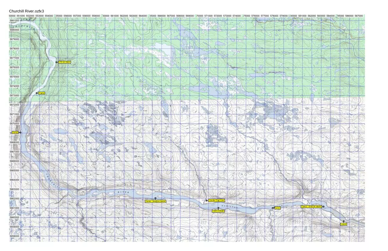
175 km Mark
Camp
Camp
Camp - Swallow Island
Goudie Trap Line
lunch
Camp - Diver Br Island
140 km Mark
Lunch
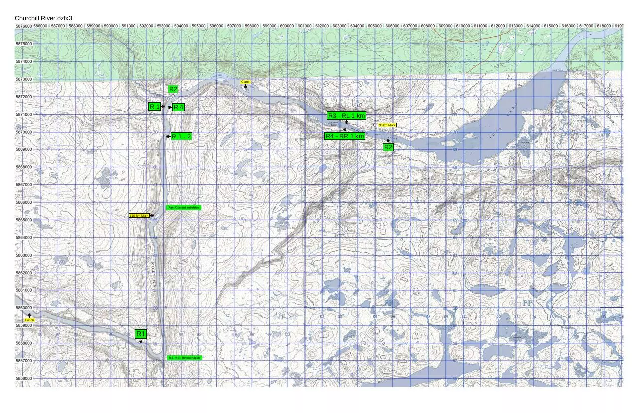
Churchill River.ozfx3
Camp
R2
R1
R4
R3 - RL 1 km
90 km Mark
R1-2
R4 - RR 1 km
R2
110 km Mark
Lunch
R1
Churchill River.ozfx3
Camp
R1 - RL
R2 - RR
Churchill River.ozfx3
Portage
Portage
25 km mark
R6
Camp
Churchill River.ozfx3
0 km mark
25 km mark
Download Churchill River Maps - Updated
Churchill River Maps - Updated.pdf (PDF, 8.24 MB)
Download PDF
Share this file on social networks
Link to this page
Permanent link
Use the permanent link to the download page to share your document on Facebook, Twitter, LinkedIn, or directly with a contact by e-Mail, Messenger, Whatsapp, Line..
Short link
Use the short link to share your document on Twitter or by text message (SMS)
HTML Code
Copy the following HTML code to share your document on a Website or Blog
QR Code to this page

This file has been shared publicly by a user of PDF Archive.
Document ID: 0000397161.