Photographic Survey
Conducted By D.M.Irving
24/5/2015
Greyabbey Bay, Bootown
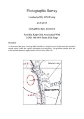
Possible Kelp Grid Associated With
MRD 168:084 Stone Fish Trap
Description
To the north of the Stone Fish Trap MRD 168:084 is a Kelp Grid, most of the stones are buried but
enough remain visible that a grid is discernible in several places. The grid runs from the shore out
to the sand and measures approximately 105m N/S by 140m E/W.
�
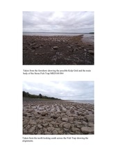
Taken from the foreshore showing the possible Kelp Grid and the main
body of the Stone Fish Trap MRD168:084
Taken from the north looking south across the Fish Trap showing the
alignments.
�
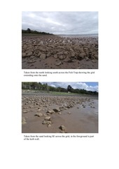
Taken from the north looking south across the Fish Trap showing the grid
extending onto the sand.
Taken from the sand looking SE across the grid, in the foreground is part
of the kerb wall.
�
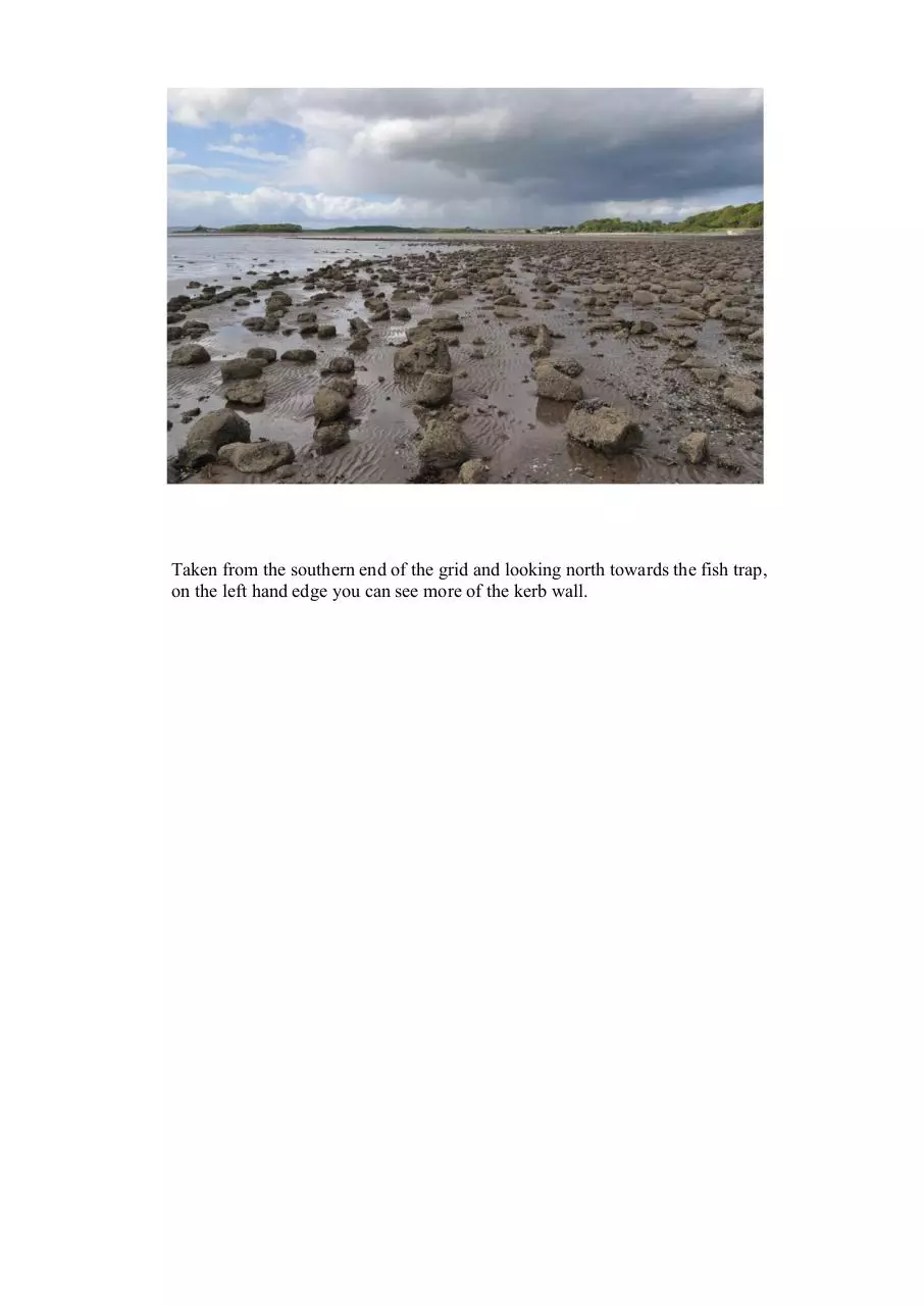
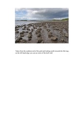
Taken from the southern end of the grid and looking north towards the fish trap,
on the left hand edge you can see more of the kerb wall.
�
 Historical archive . public document