PDF ArchiveHistorical archive . public document
2015 . June . 6

newkelpgridsouth

newkelpgridsouth.pdf . by DAVID

PDF 1.5 2 pages 713.88 KB Filed 06/06/2015
Download this PDF
newkelpgridsouth.pdf
Web reader . 2 pages
Page 1 of 2, newkelpgridsouth
1 / 2

File preview

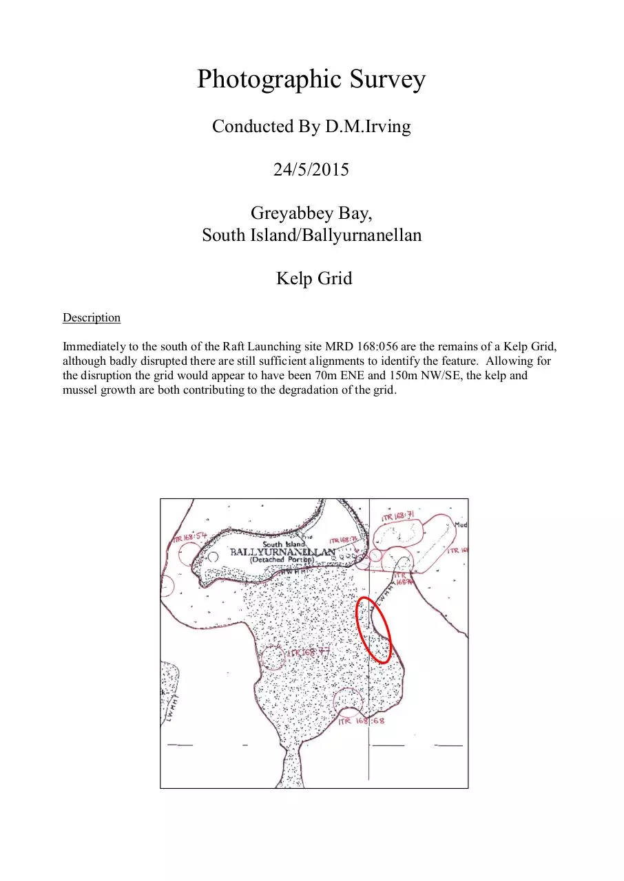
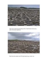
Photographic Survey Conducted By D.M.Irving 24/5/2015 Greyabbey Bay, South Island/Ballyurnanellan Kelp Grid Description Immediately to the south of the Raft Launching site MRD 168:056 are the remains of a Kelp Grid, although badly disrupted there are still sufficient alignments to identify the feature. Allowing for the disruption the grid would appear to have been 70m ENE and 150m NW/SE, the kelp and mussel growth are both contributing to the degradation of the grid. Taken from inside the grid looking north to South Island and showing some of the intact alignments. Taken from the southern end of the grid and giving a wider view.

Download newkelpgridsouth

newkelpgridsouth.pdf . PDF . 713.88 KB . 2 pages

Download PDF

File information

File name
newkelpgridsouth.pdf
Author
DAVID
Size
713.88 KB
Pages
2 pages
PDF version
1.5
Produced with
Microsoft® Office Publisher 2007
Filed on
06/06/2015
Page views
315
Document ID
newkelpgridsouth
MD5
d4ba39433704a550624673a9361f87f1
SHA-512
e9ecc18b64974e5eda1d2de1a707cd6708ee064d19dadb116b2eea36727e3a69d597a244e3986219e9f121dc64f44120a45150a000c4706444519185d005d851

Share this document

This address never changes. It is the one to keep, to send, or to cite.

Shorter, for a text message or a post with a character limit.

To link to this document from a website or a blog.