Photographic Survey
Conducted By D.M.Irving
24/5/2015
Greyabbey Bay, South Island
MRD 168:072 Stone Fish Trap
Description On File
The narrow upper foreshore slopes quite steeply to a wide expanse of flat sand in this part of
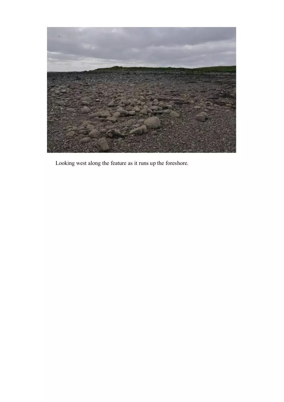
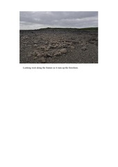
Greyabbey Bay. The feature is a linear concentration of medium to large stones, accentuated by
the paucity of stones in its immediate environs. It is aligned north-west/south-east and measures
52.0m long, 5.0m wide at its seaward end and 6.3m wide at its landward end. No obvious constructional relationship is discernible, but the stones are more concentrated for the first 23m from
the north-west end, and increasingly less so towards the seaward end. It lies oblique to the shoreline, relatively close to a channel of water and to a stone fish trap MRD 168:55. The feature may
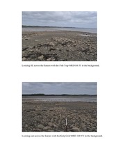
be the scant remains of an older stone fish trap, which has been robbed out to build a nearby grid,
MRD 168:71, for seaweed cultivation.
�
Looking SE across the feature with the Fish Trap MRD168 55 in the background.
Looking east across the feature with the Kelp Grid MRD 168 071 in the background.
�
Looking west along the feature as it runs up the foreshore.
�
 Historical archive . public document