Photographic Survey
Conducted By D.M.Irving
24/5/2015
Greyabbey Bay, Mid Island/Ballyurnanellan
Kelp Grid
Description
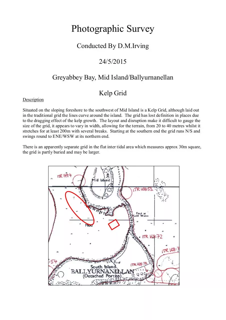
Situated on the sloping foreshore to the southwest of Mid Island is a Kelp Grid, although laid out
in the traditional grid the lines curve around the island. The grid has lost definition in places due
to the dragging effect of the kelp growth. The layout and disruption make it difficult to gauge the
size of the grid, it appears to vary in width, allowing for the terrain, from 20 to 40 metres whilst it
stretches for at least 200m with several breaks. Starting at the southern end the grid runs N/S and
swings round to ENE/WSW at its northern end.
There is an apparently separate grid in the flat inter tidal area which measures approx 30m square,
the grid is partly buried and may be larger.
�
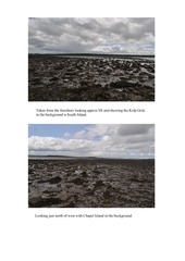
Taken from the foreshore looking approx SE and showing the Kelp Grid,
in the background is South Island.
Looking just north of west with Chapel Island in the background.
�
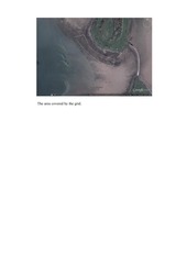
The area covered by the grid.
�
 Historical archive . public document